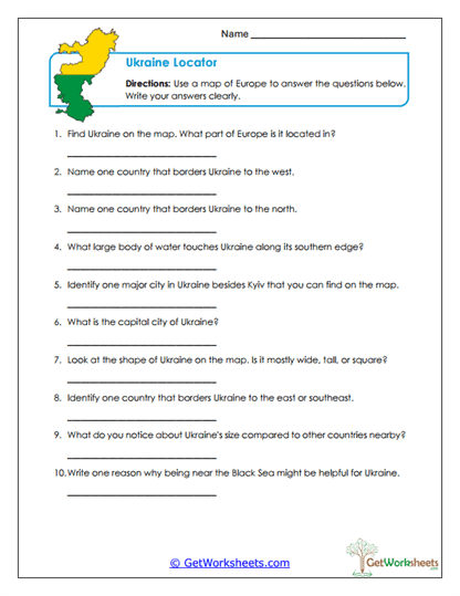
Map Questions
This worksheet supports students in Grades 4, 5, and 6 as they build geographic inquiry, map-reading, and written response skills using a map of Europe focused on Ukraine. Learners analyze location, borders, cities, bodies of water, and regional placement while answering questions that require careful observation, geographic reasoning, and clear written explanations.
Skills Reinforced
- Map Skills (Grades 4-6): Identify Ukraine’s location within Europe, neighboring countries, major cities, and surrounding geographic features.
- Physical & Political Geography: Examine borders, regional placement, land shape, and access to bodies of water such as the Black Sea.
- Geographic Reasoning: Analyze how location and physical features influence human activity, trade, and development.
- Constructed Response Writing: Practice answering geography questions using complete sentences and accurate details.
Instructional Benefits
- Teacher-Created Resource: Designed to align with upper elementary social studies and ELA standards.
- Hands-On Geography Practice: Encourages students to actively use a map rather than rely on memorization.
- Flexible Classroom Use: Ideal for geography units, assessments, homework, centers, or small-group instruction.
- Critical Thinking Focus: Moves beyond identification to analysis of geographic influence.
This printable worksheet helps students strengthen map-reading accuracy, geographic literacy, and written explanation skills through meaningful inquiry. By examining Ukraine’s location, borders, and physical features, learners build a deeper understanding of how geography shapes nations and human activity. It’s a practical, no-prep resource that works well in both classroom and homeschool settings.
This worksheet is part of our Ukraine Worksheets collection.
Bookmark Us Now!
New, high-quality worksheets are added every week! Do not miss out!