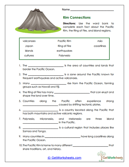
Rim Connections
This worksheet is designed for students in Grades 4, 5, and 6 to strengthen understanding of physical and cultural geography through a focused study of the Pacific Rim. Using a word bank, learners complete informational statements about earthquakes, volcanoes, tectonic plates, island groups, and coastal nations, connecting scientific concepts with real-world regions such as Japan, Polynesia, and Fiji while practicing careful reading and context-based vocabulary application.
Learning Goals
- Physical Geography (Grades 4-6): Identify features of the Pacific Rim and Ring of Fire, including earthquakes, volcanoes, and tectonic activity.
- Cultural Geography: Understand how island cultures and coastal nations are shaped by their geographic location.
- Cause & Effect Reasoning: Explain how tectonic plate movement leads to natural events that affect human regions.
- Vocabulary in Context: Apply key terms such as Pacific Rim, Polynesia, earthquakes, and volcanoes using sentence clues.
Instructional Benefits
- Teacher-Created Resource: Designed to align with upper elementary science, geography, and ELA standards.
- Integrated Content: Blends Earth science concepts with cultural and regional geography.
- Word Bank Support: Encourages accuracy and independence while reinforcing academic vocabulary.
- Flexible Use: Ideal for science units, geography lessons, homework, centers, or review activities.
This printable worksheet helps students see the connection between natural forces and human regions around the Pacific Rim. By linking tectonic activity to real places and cultures, learners deepen geographic understanding, strengthen critical thinking, and expand content vocabulary. It’s a practical, no-prep resource that works well in both classroom instruction and homeschool learning, supporting meaningful connections between science and geography.
Bookmark Us Now!
New, high-quality worksheets are added every week! Do not miss out!