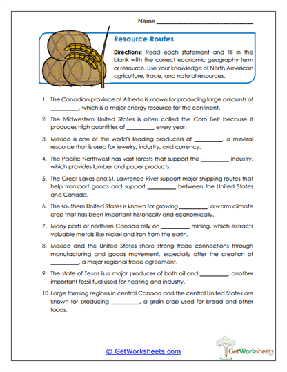
Resource Routes
This worksheet is designed for students in Grades 4, 5, and 6 to strengthen understanding of how geography supports economic activity across North America. Using context clues and a fill-in-the-blank format, learners identify natural resources, trade routes, and industries such as farming, mining, energy production, and cross-border trade, building connections between physical geography and economic systems while practicing careful reading and vocabulary application.
Learning Goals
- Economic Geography (Grades 4-6): Identify major natural resources and industries found across North America.
- Resources & Industry: Understand how agriculture, mining, and energy production are shaped by regional geography.
- Trade Routes: Recognize how location and transportation routes support trade and economic connections.
- Vocabulary in Context: Apply key terms such as resource, industry, agriculture, and trade using sentence clues.
Instructional Benefits
- Teacher-Created Resource: Designed to align with upper elementary social studies and ELA standards.
- Context-Clue Practice: Encourages reasoning and comprehension rather than rote memorization.
- Cross-Curricular Learning: Integrates geography, economics, and reading skills in one activity.
- Flexible Use: Ideal for geography units, economics lessons, homework, centers, or formative assessment.
This printable worksheet helps students build a clearer understanding of how natural resources and geography support economic activity across North America. By identifying resources and trade connections through guided clues, learners strengthen geographic literacy, content vocabulary, and critical thinking. It’s a practical, no-prep resource that works well in both classroom instruction and homeschool learning, supporting meaningful connections between geography and economics.
Bookmark Us Now!
New, high-quality worksheets are added every week! Do not miss out!