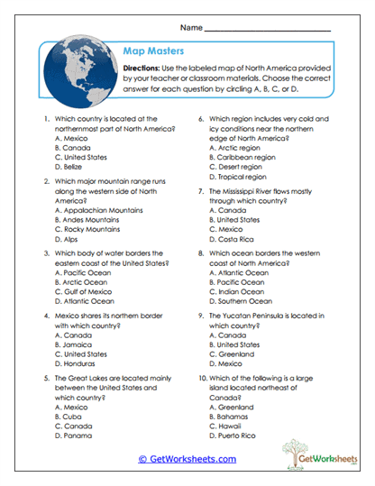
Map Smarty
This worksheet helps students in Grades 4, 5, and 6 strengthen map-reading skills, physical geography knowledge, and test-taking strategies through a focused multiple-choice review of North America. Students use map knowledge and textual clues to identify countries, mountain ranges, bodies of water, regions such as the Arctic and Caribbean, and key geographic features, reinforcing spatial awareness, directional thinking, and geographic vocabulary.
Targeted Skills
- Map Reading & Spatial Reasoning (Grades 4-6) – Use maps to identify locations, regions, and physical features across North America
- Physical Geography Knowledge – Recognize major landforms, bodies of water, and regional features
- Geographic Vocabulary – Apply terms such as region, peninsula, Arctic, and Caribbean accurately
- Multiple-Choice Reasoning – Practice selecting correct answers using map clues and process-of-elimination strategies
Instructional Benefits
- Teacher-Created Resource – Designed to align with upper elementary geography and social studies standards
- Assessment-Friendly Format – Works well for review, quizzes, bell ringers, or formative assessment
- Skill-Focused Practice – Reinforces both content knowledge and test-taking confidence
- Low-Prep Design – Ready-to-print worksheet that fits easily into classroom or homeschool lessons
This Map Smarty worksheet helps students build confidence with maps, geographic features, and regional understanding of North America. By combining multiple-choice practice with spatial reasoning, learners strengthen comprehension, accuracy, and geographic literacy. It’s a practical, no-prep resource for both classroom instruction and homeschool learning.
Bookmark Us Now!
New, high-quality worksheets are added every week! Do not miss out!