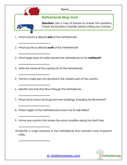
Dutch Map Skills
This worksheet supports students in Grades 4, 5, and 6 as they develop map-reading accuracy, spatial reasoning, and geographic analysis skills using a map of Europe focused on the Netherlands. Students answer structured questions about location, borders, bodies of water, rivers, provinces, ports, and major cities while practicing directional terms, close reading, and geographic reasoning tied to real map features.
Targeted Skills
- Map Reading & Spatial Reasoning (Grades 4-6) – Interpret maps to identify location, direction, and relative position within Europe
- European Geography Knowledge – Recognize surrounding countries, major cities, ports, and key physical features of the Netherlands
- Geographic Vocabulary Use – Apply terms such as borders, regions, rivers, and bodies of water accurately
- Geographical Analysis – Analyze how location and physical features influence trade, farming regions, and settlement
Classroom & Home Use
- Teacher-Created Resource – Designed to align with upper elementary geography and social studies standards
- Skill-Building Format – Encourages active map use rather than passive memorization
- Flexible Application – Works well for classwork, homework, assessment, review, or small-group instruction
- Low-Prep Design – Ready-to-print worksheet requiring no additional setup
This Dutch Map Skills worksheet helps students build confidence with maps, spatial thinking, and European geography concepts through structured practice and clear questions. By identifying borders, cities, waterways, and regions, learners strengthen geographic literacy, attention to detail, and analytical thinking. It’s a practical, no-prep resource for both classroom instruction and homeschool learning.
This worksheet is part of our Netherlands Worksheets collection.
Bookmark Us Now!
New, high-quality worksheets are added every week! Do not miss out!