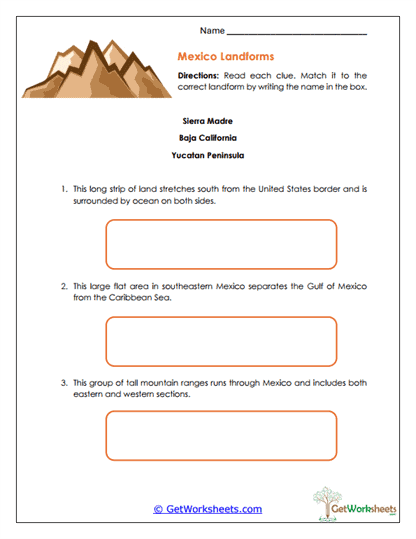
Mexican Landforms
This worksheet helps students in Grades 4, 5, and 6 build foundational geography knowledge by identifying major landforms of Mexico through clue-based analysis. Students read descriptive clues and match each one to the correct geographic feature-Sierra Madre, Baja California, or the Yucatán Peninsula-while practicing careful reading, geographic reasoning, and accurate use of physical geography vocabulary.
Learning Goals
- Physical Geography of Mexico (Grades 4-6) – Identify major landforms and understand their defining characteristics
- Regions & Natural Landscapes – Recognize how mountains and peninsulas shape climate, ecosystems, and settlement
- Reading with Clues – Use descriptive details to determine meaning and make accurate geographic matches
- Geographic Vocabulary – Apply correct terms related to landforms and regional features
Instructional Benefits
- Teacher-Created Resource – Designed to align with upper elementary geography and social studies standards
- Clue-Based Thinking – Encourages analysis and reasoning rather than simple memorization
- Flexible Classroom Use – Works well for independent practice, review, assessment, or small-group instruction
- Low-Prep Format – Ready-to-print worksheet with clear directions and student-friendly layout
This Mexican Landforms worksheet helps students strengthen spatial understanding and physical geography knowledge through focused, analytical practice. By matching clues to key landforms, learners build confidence with geographic terms, reading comprehension, and regional awareness. It’s a practical, no-prep resource for both classroom instruction and homeschool learning.
This worksheet is part of our Mexico Worksheets collection.
Bookmark Us Now!
New, high-quality worksheets are added every week! Do not miss out!