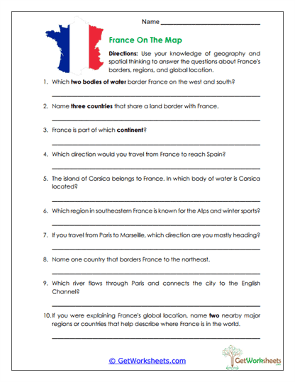
France Map Skills
This worksheet is designed for students in Grades 4, 5, and 6 to strengthen essential map-reading and spatial reasoning skills through focused questions about France’s location, borders, regions, and physical features. Learners practice geographic vocabulary, directional thinking, and global awareness as they identify bodies of water, neighboring countries, and important locations within France and Europe.
Learning Goals
- Map Skills & Spatial Awareness – Use maps to interpret directions, relative location, and geographic relationships.
- European Geography Knowledge – Identify France’s borders with nearby countries and its position within Europe.
- Physical & Regional Features – Locate key areas such as Corsica and the Alps.
- Directional Reasoning – Describe travel and movement using cardinal directions and geographic reference points.
Classroom & Home Use
- Teacher-Created Resource – Developed to align with upper-elementary geography standards.
- Hands-On Map Practice – Encourages active use of maps rather than passive memorization.
- Flexible Implementation – Works well for classwork, homework, test prep, or review.
- Skill Building – Reinforces spatial thinking, geographic vocabulary, and map interpretation.
- Independent-Friendly – Clear questions support student confidence and self-guided learning.
This France map skills worksheet helps students connect geographic knowledge with practical map-reading strategies. By identifying borders, regions, landforms, and locations within a global context, learners build stronger spatial awareness and a clearer understanding of France’s role in Europe and the world. It’s a simple, effective resource for both classroom instruction and homeschool settings that supports long-term geographic literacy.
This worksheet is part of our France Worksheets collection.
Bookmark Us Now!
New, high-quality worksheets are added every week! Do not miss out!