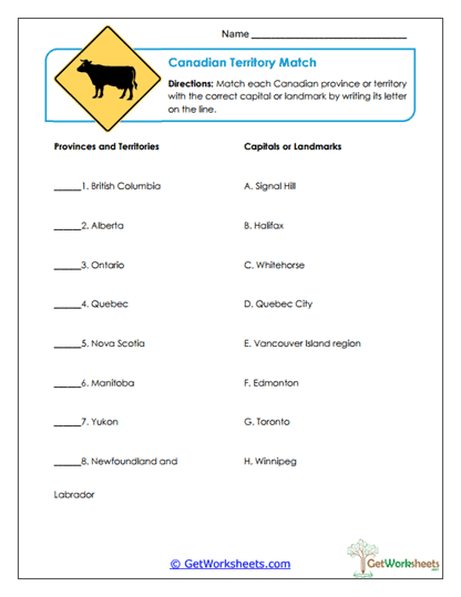
Territory Matching
This worksheet is designed for students in Grades 4, 5, and 6 to strengthen geographic knowledge and civic understanding through a focused matching activity on Canada’s provinces and territories. Students pair each political region with its correct capital or a major landmark, reinforcing memory, spatial awareness, and familiarity with important national locations through active recall and comparison.
Learning Goals
- Geography & Map Skills – Connect provinces and territories to their capitals or well-known landmarks.
- Civic Knowledge – Build understanding of how political regions are organized in Canada.
- Association & Recall – Strengthen memory by matching related geographic information accurately.
- Attention to Detail – Compare names, locations, and clues to determine correct pairings.
Instructional Benefits
- Teacher-Created Resource – Designed to align with upper-elementary social studies standards.
- Interactive Matching Format – Encourages active engagement rather than passive memorization.
- Foundational Geography Practice – Supports long-term retention of provinces, territories, and capitals.
- Flexible Classroom Use – Suitable for classwork, homework, review, or assessment.
- Student-Friendly Layout – Clear structure helps students work independently and confidently.
This territory matching worksheet helps students build a strong mental map of Canada’s political regions by reinforcing key geographic associations. Through careful comparison and recall, learners improve map skills, civic awareness, and familiarity with important places across the country. It’s a practical, no-prep resource for both classroom and homeschool settings that supports confident learning and geographic literacy.
This worksheet is part of our Canada Worksheets collection.
Bookmark Us Now!
New, high-quality worksheets are added every week! Do not miss out!