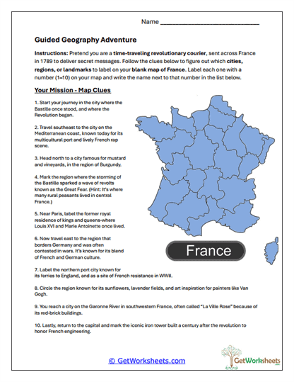
Guided Geography Adventure
This worksheet is designed for students in Grades 5, 6, and 7 to strengthen geographic reasoning, map skills, and historical understanding through an imaginative, clue-based exploration of France. Learners take on the role of a time-traveling revolutionary courier, read ten descriptive clues, interpret geographic and historical context, and identify major French cities, regions, and landmarks on a blank map, building spatial awareness and integrative thinking.
Skills Reinforced
- Geographic Interpretation (Grades 5-7) – Students use written clues to identify locations across France.
- Map Skills & Spatial Reasoning – Learners label maps accurately and understand relative location and regional placement.
- French Regions & Landmarks – Reinforces knowledge of culturally and historically significant places.
- Integrative Thinking – Connects geography with history, culture, agriculture, and art.
Instructional Benefits
- Teacher-Created Resource – Designed by educators to align with upper-elementary and middle school geography standards.
- Engaging Role-Based Format – Courier storyline increases motivation and immersion.
- Clue-Driven Learning – Encourages synthesis of multiple knowledge sources rather than simple recall.
- Low-Prep & Printable – Easy to use for classwork, enrichment, or homeschool instruction.
This printable geography worksheet helps students build strong map-reading and spatial reasoning skills while exploring France in a creative, meaningful way. By interpreting clues and labeling locations, learners practice geographic literacy, historical connection-making, and critical thinking. Suitable for classroom or homeschool use, this activity offers an engaging approach to learning about France’s diverse regions and landmarks through exploration and imagination.
This worksheet is part of our Bastille Day Worksheets Collection.
Bookmark Us Now!
New, high-quality worksheets are added every week! Do not miss out!